World Artifacts › Atlas › Austria
Grossglockner Road
The high alpine road has thirty-six hairpins and climbs to 2,500 metres, and it was built in the Depression as a work scheme employing three thousand men. It closes with the first serious snow and reopens in May.
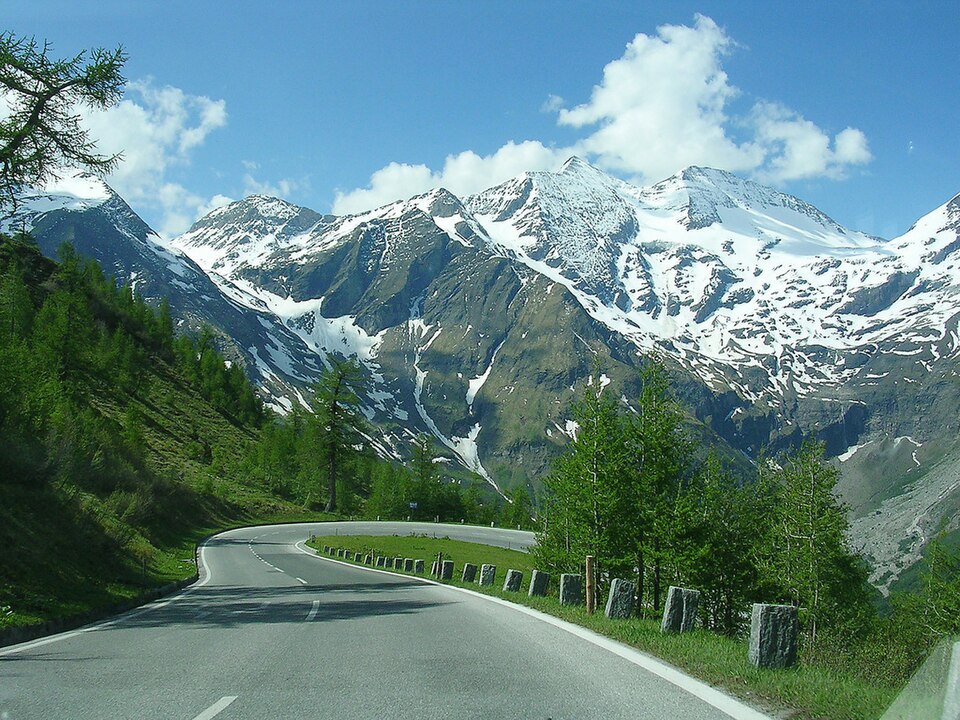
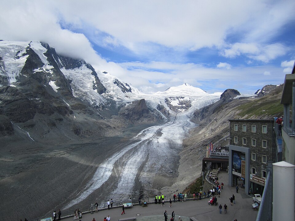
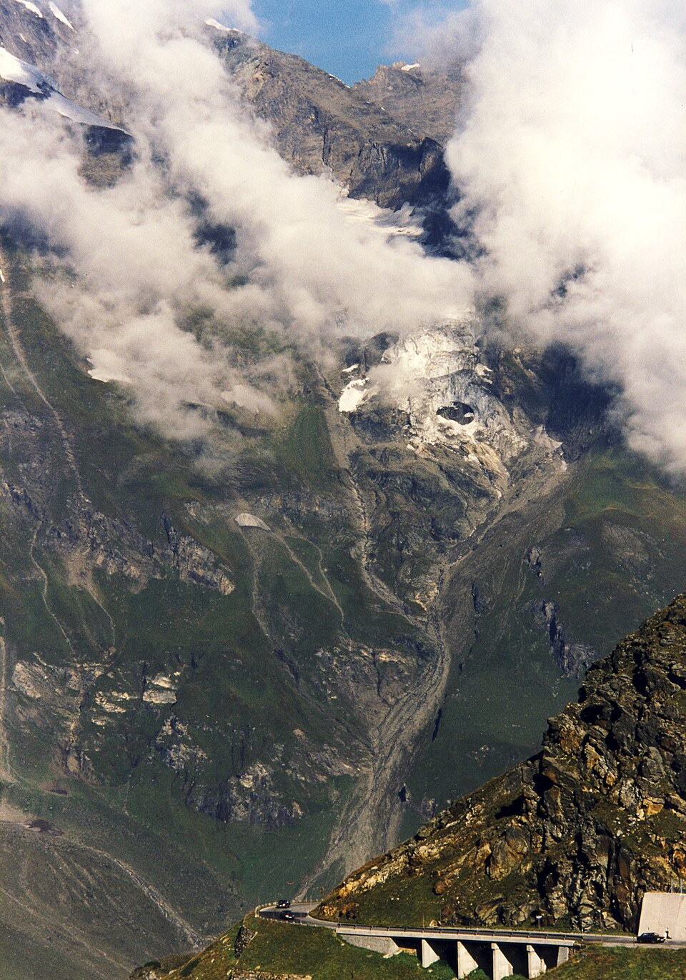
The Grossglockner High Alpine Road (in German Großglockner Hochalpenstraße) is the highest surfaced mountain pass road in Austria. It connects Bruck in the state of Salzburg with Heiligenblut in Carinthia via the Fuscher Törl at 2,428 m (7,966 ft) and the Hochtor Pass at 2,504 m (8,215 ft). The road is named after the Grossglockner, Austria's highest mountain. Built as a scenic route, a toll is charged.
Grossglockner Road is one of the 3D puzzles in World Artifacts: turn a cloud of broken pieces until it lines up. For iPhone, iPad, Apple Vision Pro and Android.