World Artifacts › Atlas › Bangladesh
Sundarbans Mangrove
The mangrove roots at low tide.
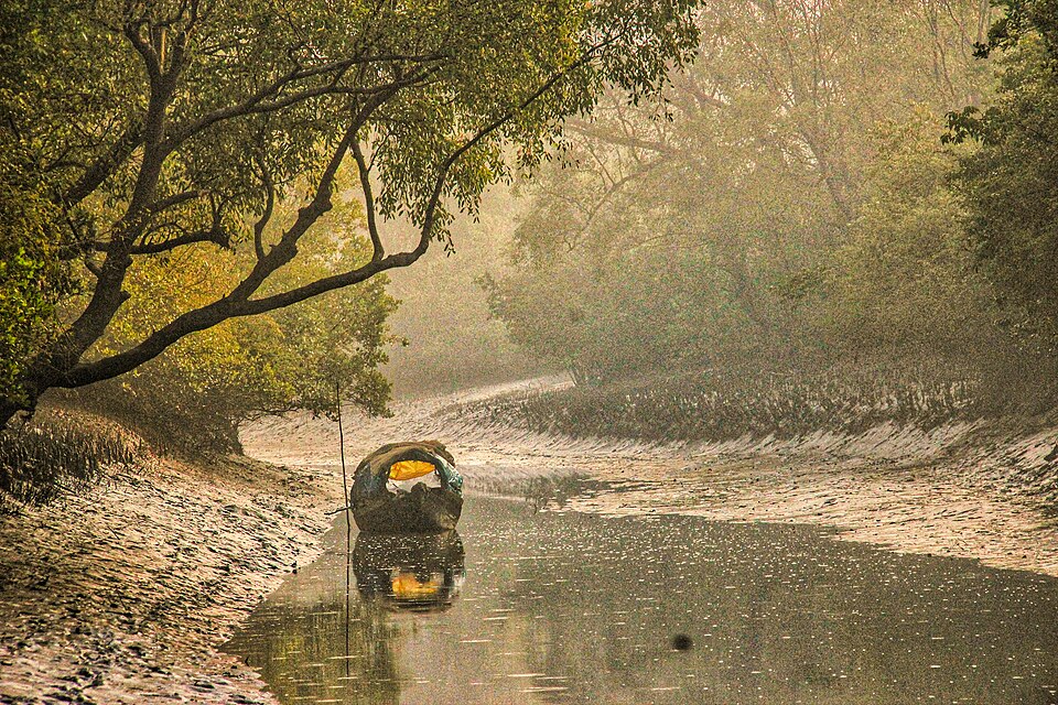
Sundarbans is a mangrove forest area in the Ganges Delta formed by the confluence of the Ganges, Brahmaputra and Meghna Rivers in the Bay of Bengal. It spans the area from the Hooghly River in India's state of West Bengal to the Baleswar River in Bangladesh's Khulna Division. It comprises closed and open mangrove forests, land used for agricultural purpose, mudflats and barren land, and is intersected by multiple tidal streams and channels. Spread across 10,277 km2 (3,968 sq mi), it is the world's largest mangrove forest. It covers over 6,017 km2 (2,323 sq mi) in Bangladesh's Khulna Division. In West Bengal's Presidency division, they extend over 4,260 km2 (1,640 sq mi) in the South 24 Parganas and North 24 Parganas districts.
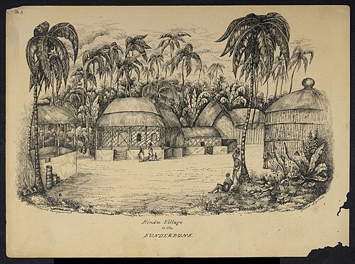
Four protected areas in the Sundarbans are enlisted as UNESCO World Heritage Sites, viz. Sundarbans West, Sundarbans South, Sundarbans East in Bangladesh and Sundarbans National Park in India.
Further reading
- Forest of tigers · Annu Jalais (2010)An anthropological study of the Sundarbans forest, its tigers and the people who live there.Find a copy: AbeBooks · Amazon · WorldCat
- The Hungry Tide · Amitav Ghosh (2004)A novel set in the Sundarbans tide country, dealing with human ecology, tides and dolphins.Find a copy: AbeBooks · Amazon · WorldCat
Sundarbans Mangrove is one of the 3D puzzles in World Artifacts: turn a cloud of broken pieces until it lines up. For iPhone, iPad, Apple Vision Pro and Android.