World Artifacts › Atlas › Denmark
Møns Klint
The chalk is made of the shells of microscopic algae that fell to the sea floor over millions of years. The cliff is unstable and drops sections of itself without warning, which is why the beach below is fenced in places.
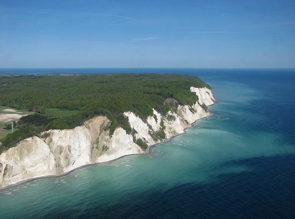
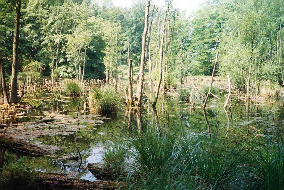
Møns Klint is a 6 km stretch of limestone and chalk cliffs along the eastern coast of the Danish island of Møn in the Baltic Sea, and as of July 2025 a World Heritage Site. Some of the cliffs fall a sheer 120 m to the sea below. The highest cliff is Dronningestolen, which is 128 m above sea level. The area around Møns Klint consists of woodlands, pastures, ponds and steep hills, including Aborrebjerg which, with a height of 142 m, is one of the highest points in Denmark. The cliffs and adjacent park are now protected as a nature reserve. Møns Klint receives around 250,000 visitors a year. There are clearly marked paths for walkers, riders and cyclists. The path along the cliff tops leads to steps down to the shore in several locations.
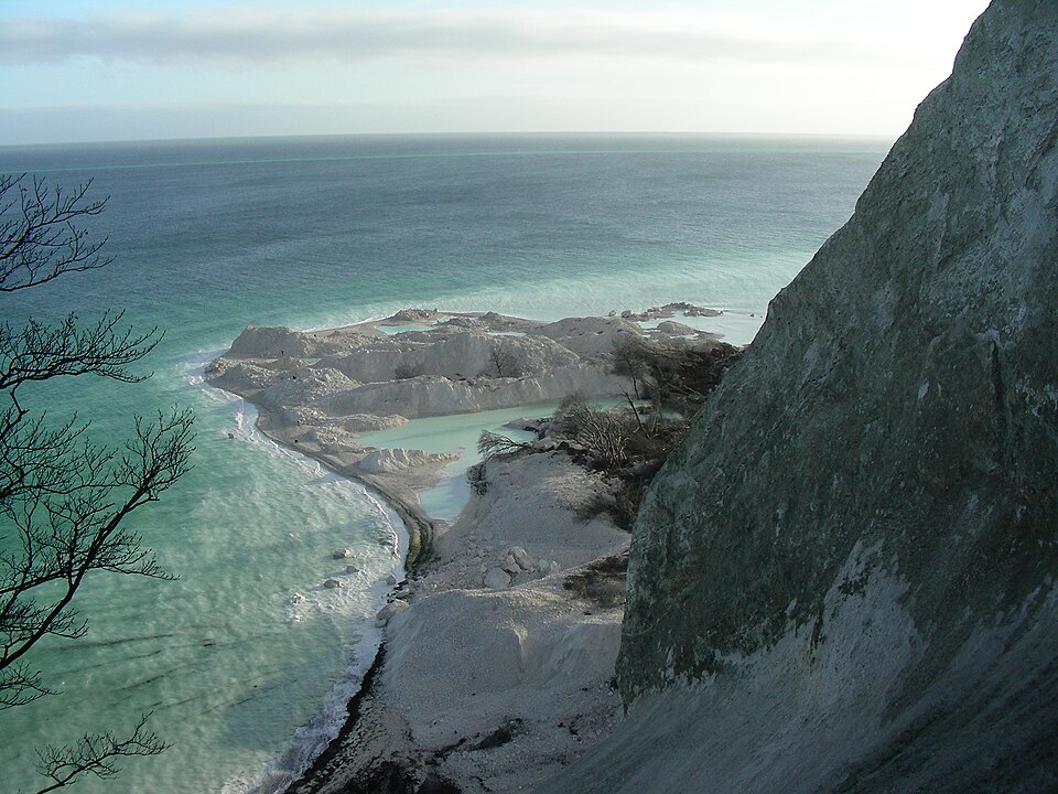
On 29 May 2007, close to the cliff tops, the GeoCenter Møns Klint was opened by Queen Margrethe. The museum was designed by PLH Architects, the winners of an international design competition.
On 13 July 2025, Møns Klint was one of the items accepted for inclusion on UNESCO's World Heritage List.
Møns Klint is one of the 3D puzzles in World Artifacts: turn a cloud of broken pieces until it lines up. For iPhone, iPad, Apple Vision Pro and Android.