World Artifacts › Atlas › Greece
Santorini Dome
The bay the villages look over is not a bay but a crater: a Bronze Age eruption blew the middle out of the island and left the rim standing. The houses are built into the cliff of the hole.
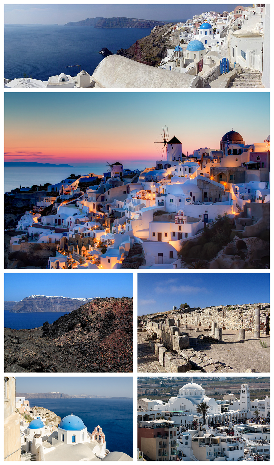
Santorini, officially Thira or Thera, is a Greek island in the southern Aegean Sea, about 200 km (120 mi) southeast from the mainland. It is the largest island of a small, circular archipelago formed by the Santorini caldera. It is the southernmost member of the Cyclades group of islands, with an area of approximately 73 km2 (28 mi2) and a 2021 census population of 15,480. The municipality of Santorini includes the inhabited islands of Santorini and Therasia, and the uninhabited islands of Nea Kameni, Palaia Kameni, Aspronisi, Anydros, and Christiana. The total land area is 90 km2 (35 mi2). Santorini is part of the Thira regional unit.
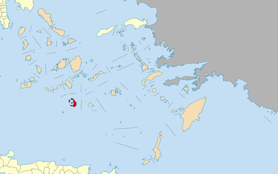
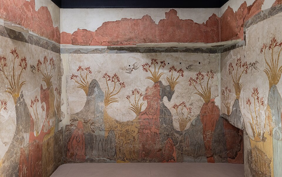
Santorini is the most active volcanic centre in the South Aegean Volcanic Arc. The volcanic arc is approximately 500 km (300 mi) long and 20 to 40 km (12 to 25 mi) wide. The region first became volcanically active around 3-4 million years ago, though volcanism on Thera began around 2 million years ago with the extrusion of dacitic lavas from vents around Akrotiri. One of the largest volcanic eruptions in recorded history struck the island about 3,600 years ago, leaving a large water-filled caldera surrounded by deep volcanic ash deposits.
Further reading
- Thera : Pompeii of the ancient Aegean · Christos Doumas (1983)About Thera and its excavations, the Bronze Age Aegean site on Santorini.Find a copy: AbeBooks · Amazon · WorldCat
- Fire in the sea · Walter L. Friedrich (2000)Covers the Aegean volcanic eruptions, geology and the Minoans.Find a copy: AbeBooks · Amazon · WorldCat
Santorini Dome is one of the 3D puzzles in World Artifacts: turn a cloud of broken pieces until it lines up. For iPhone, iPad, Apple Vision Pro and Android.