World Artifacts › Atlas › Kenya
Mount Kenya
Mount Kenya has glaciers almost exactly on the equator, and they are going: of eighteen recorded a century ago, most have already disappeared. The country takes its name from the mountain, by way of a mishearing of its Kikuyu name.
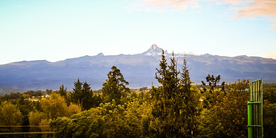
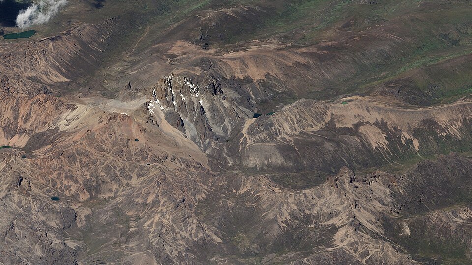
Mount Kenya (Meru: Kĩrĩmaara, Kikuyu: Kĩrĩmanyaga, or "Kīrī-nyaga", Kamba: Ki nyaa, Embu: Kĩ nyaga, or "Kirinyaga") is the second highest mountain in Africa and the namesake of the country Kenya. Located about 150 km (90 mi) north-northeast of the capital of Nairobi and just 16.5 kilometres (10.3 miles) south of the equator, the mountain's highest peaks are Batian (5,199 m), Nelion (5,188 m), and Point Lenana (4,985 m). Historically situated in the former Eastern and Central provinces, the massif now serves as the intersection of Meru, Embu, Kirinyaga, Nyeri, and Tharaka Nithi counties. The area was officially gazetted as the Mount Kenya National Park in 1949 and was later designated a UNESCO World Heritage Site in 1997 for its outstanding natural beauty and ecological significance. Today, the park and its surrounding forest reserve are managed by the Kenya Wildlife Service and the Kenya Forest Service as a critical sanctuary for endangered species and a primary water tower for the region.
Further reading
- Snow on the equator · H. W. Tilman (1938)Tilman's 1938 mountaineering and travel account of Mount Kenya and the surrounding region.Find a copy: AbeBooks · Amazon · WorldCat
- Facing Mount Kenya · Jomo Kenyatta (1900)Kenyatta's anthropological study of the Gikuyu (Kikuyu) people, who live beneath the mountain.Find a copy: AbeBooks · Amazon · WorldCat
Mount Kenya is one of the 3D puzzles in World Artifacts: turn a cloud of broken pieces until it lines up. For iPhone, iPad, Apple Vision Pro and Android.