World Artifacts › Atlas › Mauritania
Ouadane Ruins
The stone ruins on the hill.
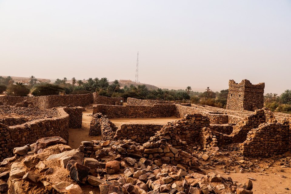
Ouadane or Wādān (Arabic: وادان) is a small town in the desert region of central Mauritania, situated on the southern edge of the Adrar Plateau, 93 kilometres (58 mi) northeast of Chinguetti. The town was a staging post in the trans-Saharan trade and for caravans transporting slabs of salt from the mines at Idjil.
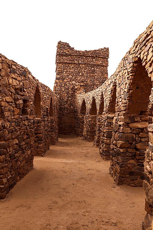
The old town, a World Heritage Site, though in ruins, is still substantially intact, while a small modern settlement lies outside its gate.
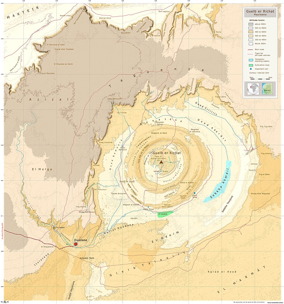
Ouadane is the closest town to the Richat Structure, a massive circular landmark visible from space.
The whole Ouadane commune has a total size of 118,210 square kilometres (45,640 sq mi), mostly consisting of desert. The main town is located in the south-west of the commune.
Further reading
Ouadane Ruins is one of the 3D puzzles in World Artifacts: turn a cloud of broken pieces until it lines up. For iPhone, iPad, Apple Vision Pro and Android.