World Artifacts › Atlas › Norway
Atlantic Ocean Road Bridge
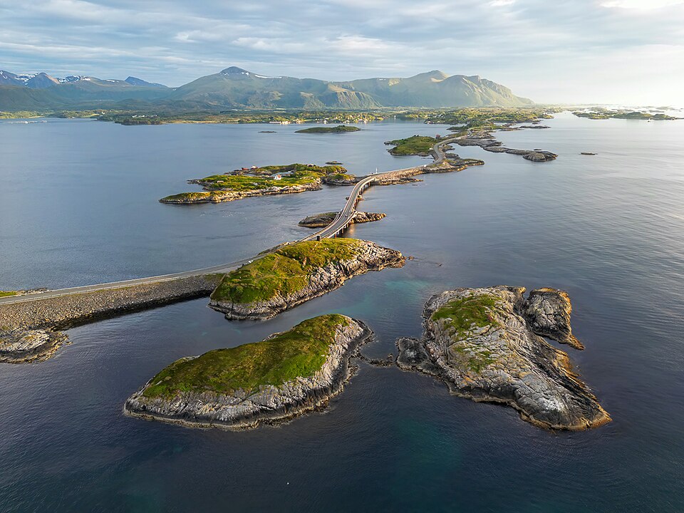
The road hops between islets on eight bridges, and it was built through a stretch of coast that had twelve hurricanes during construction. On a calm day it is a scenic drive and in a storm the sea comes over the deck.
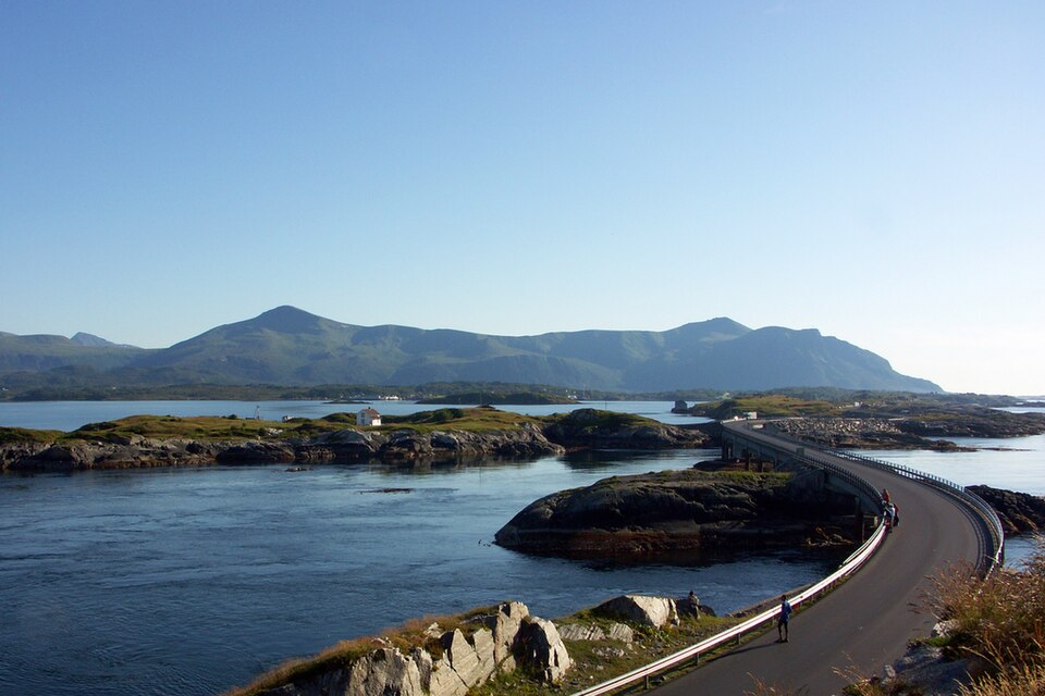
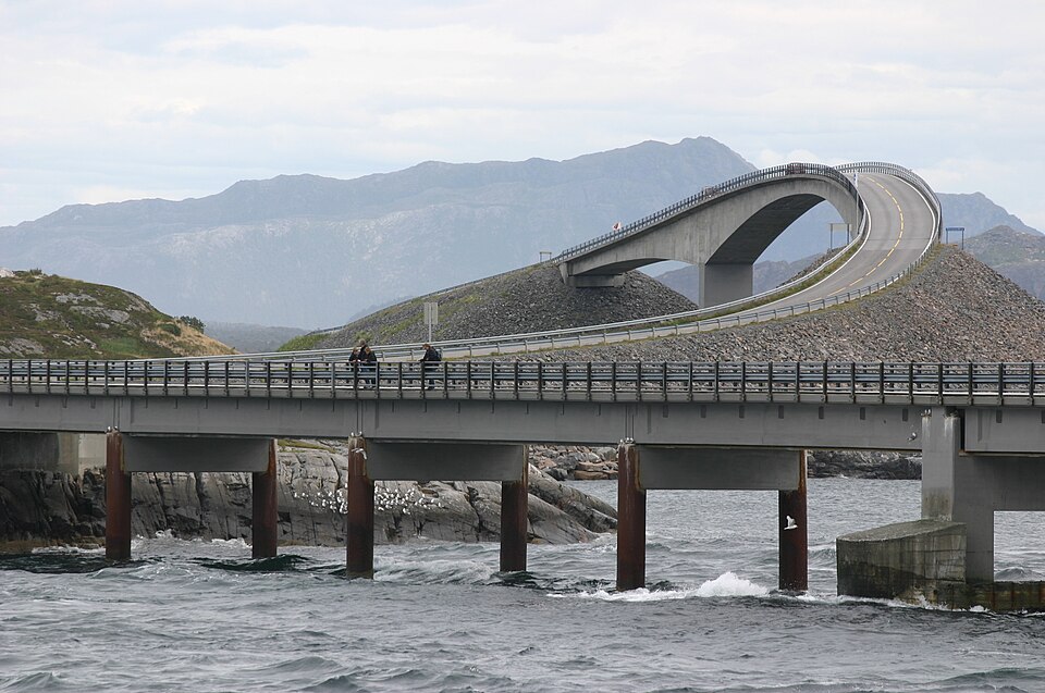
The Atlantic Ocean Road or the Atlantic Road (Norwegian: Atlanterhavsvegen / Atlanterhavsveien) is an 8.3-kilometer (5.2 mi) long section of County Road 64 that runs through an archipelago that crosses Hustadvika Municipality and Averøy Municipality in Møre og Romsdal county, Norway. It passes by Hustadvika, an unsheltered part of the Norwegian Sea, connecting the island of Averøya with the mainland and the Romsdalshalvøya peninsula. It runs between the villages of Kårvåg in Averøy and Vevang in Hustadvika. It is built on several small islands and skerries, which are connected by several causeways, viaducts and eight bridges - the most prominent being Storseisundet Bridge.
Atlantic Ocean Road Bridge is one of the 3D puzzles in World Artifacts: turn a cloud of broken pieces until it lines up. For iPhone, iPad, Apple Vision Pro and Android.