World Artifacts › Atlas › Vietnam
Ha Long Bay
The bay holds something like 1,600 limestone islands, the eroded remains of a drowned karst plateau. The name means descending dragon: the story is that a dragon sent to defend the coast lashed its tail and broke the mountains into the sea.
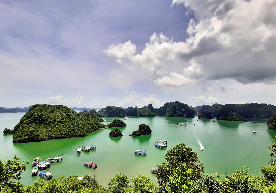
Hạ Long Bay or Halong Bay (Vietnamese: Vịnh Hạ Long, pronounced [vînˀ hâːˀ lawŋm] ) is a bay located in Northeastern Vietnam, administered by the city of Quảng Ninh. The name Hạ Long means "descending dragon". It features thousands of limestone karsts and islets in various shapes and sizes, for which it is listed as a UNESCO World Heritage Site and a popular travel destination. The bay is also part of a larger area that includes Bai Tu Long Bay to the northeast and Cát Bà Island (administered by Haiphong) to the southwest. These zones share similar geological, geographical, geomorphological, climatic, and cultural characteristics.
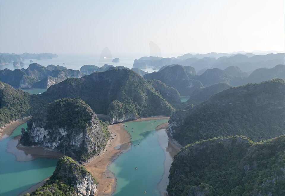
Hạ Long Bay has an area of around 1,553 km2 (600 sq mi), including 1,969 islets, most of which are made of limestone. The core of the bay has an area of 334 km2 (129 sq mi) with a high density of 775 islets. The limestone in this bay has gone through 500 million years of formation in different conditions and environments. The evolution of the karst in this bay has taken 20 million years under the impact of the tropical wet climate. The geo-diversity of the environment in the area has created biodiversity, including a tropical evergreen biosystem and a seashore biosystem. Hạ Long Bay is home to 14 endemic floral species and 60 endemic faunal species.
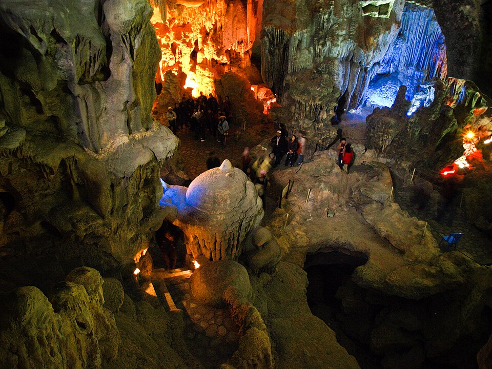
Ha Long Bay is one of the 3D puzzles in World Artifacts: turn a cloud of broken pieces until it lines up. For iPhone, iPad, Apple Vision Pro and Android.